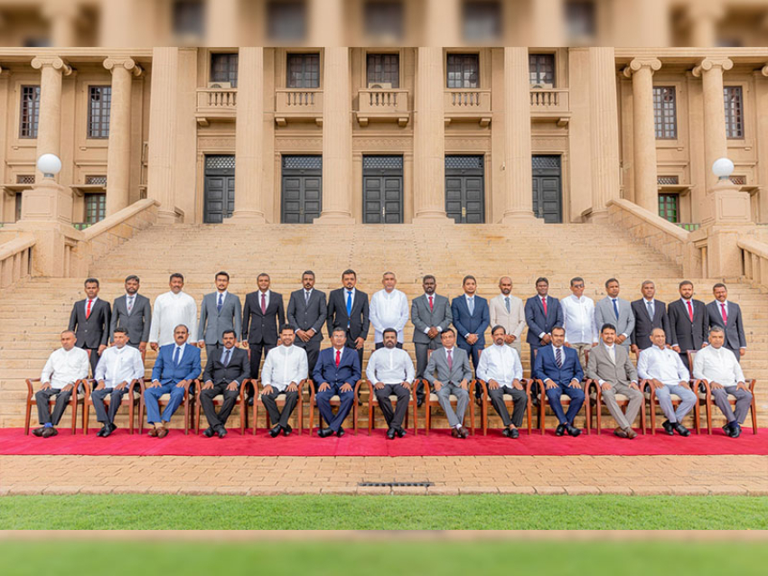
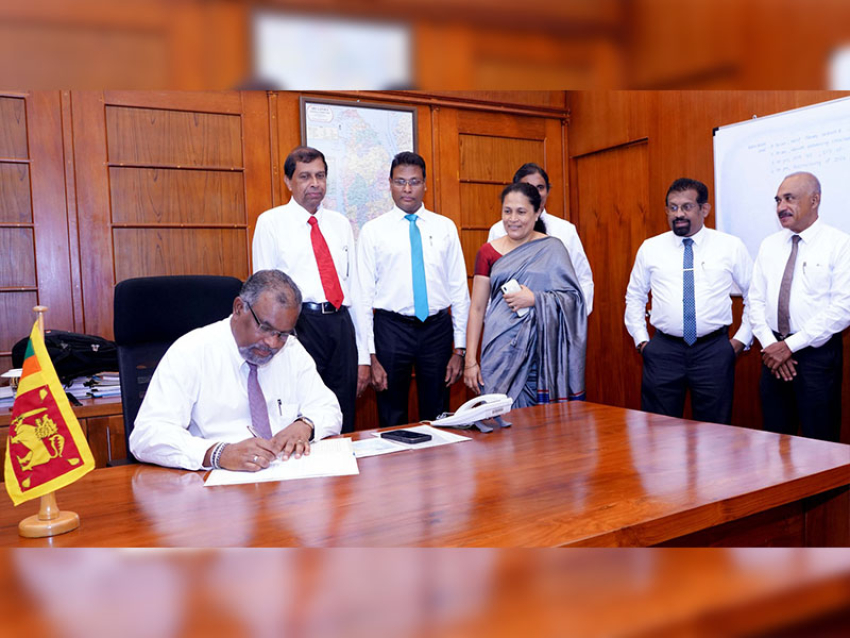
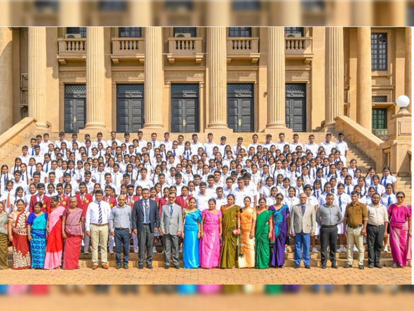
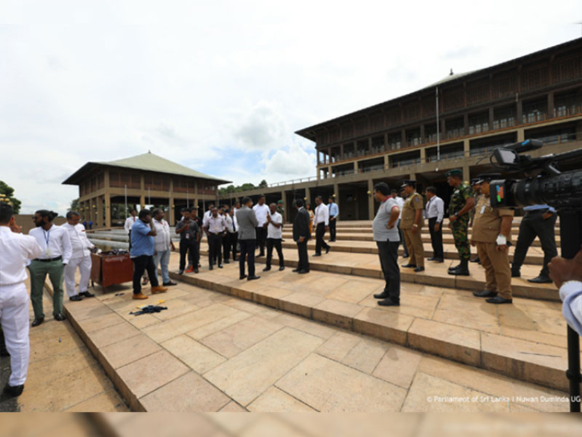
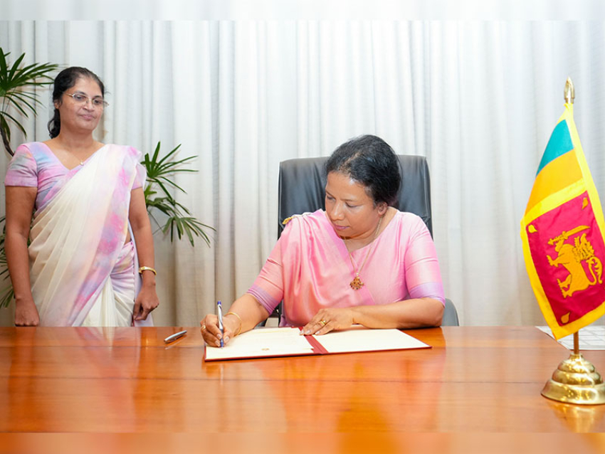
Wasantha Deshapriya, former secretary to the Ministry of Telecommunication, Digital Infrastructure and Foreign Employment who is the pioneer in initiating NSDI in Sri Lanka graced the occasion as the Chief Guest. Other distinguished invitees including senior Government officials, industry leaders, academia, NGOs, INGOs and media also dignified this launching ceremony.
The NSDI is a platform consisting of a Website, a Metadata catalogue and a Geo-portal which facilitate accessing geospatial information for decision makers. While the Website provides the introduction to the NSDI and its services and governance structure, the Metadata catalogue provides the background details about the geospatial data. The available geospatial data which were scattered across many organizations can be accessed through this Geo-portal in a single window. At present, NSDI comprises with five use cases for Sri Lanka Tourism Development Authority, Department of Agriculture, Urban Development Authority, Disaster Management Centre and Department of Archaeology which demonstrate the dimensions of the platform in integrating different spatial applications into this portal.
In his opening remark Prof. Rohan Samarajiva, the Chairman of ICTA, emphasized the importance of having a proper governance structure to manage the NSDI so that users from both the government and private sector can benefit.


