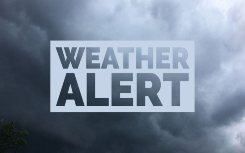
Due to the influence of the system the prevailing showery condition over the island particularly in the south-western part is likely to continue further. Very heavy showers above 150mm are likely at some places. Wind speed can be increase up to (50-60) kmph at times over the island. Cloudy skies can be expected over the island.
Showers or thundershowers will occur in Southern, Western, Sabaragamuwa, Central and North-western provinces with isolated very heavy showers exceeding 150mm. Showers or thundershowers will occur at several places in North-central and Uva provinces and Mannar District.
General public is kindly requested to take adequate precautions to minimize damages caused by lightning activity during thundershowers.